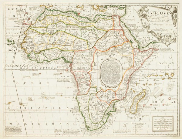
Modalities of Governance: Cartography in Colonial Africa
Humanities
HIS 195A/B
Cartography, as I discuss in my thesis, held an important place in the apparatus of the knowledge and governance within the colonial state. I introduce the argument that the maps produced by European cartographers justified their claim of the land stating Africa was barren and unproductive in the hands of its inhabitants. As the thesis progresses, one notices the transformation of the maps utilized and how each new feature represents and reflects Europe’s agenda during the age of expansion leading into European dominion over vast parts of the world by the 19th century. Overall, this project essentially argues that actions and statements made by Europe regarding the African continent (as well as the regions under their control in the colonial era) offers insight into the conventions, norms, and histories reflecting European rather than African societies.